How to Set Up Geofences That Work
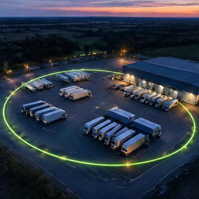
A geofence is a boundary drawn on the map. This guide explains how to size, name and use them so they help instead of annoy.
Pick the places that matter
Start with yards, customer sites, job sites and a few places you never want vehicles to visit. Too many geofences at once create noise. Add more as you learn what you use.
Give each one a clear name, such as the customer or yard name.
Choose the size
A boundary that is too small misses arrivals because GPS has some error, and one that is too large catches vehicles driving past. The Geofence Radius Planner on this site suggests a radius from the size of the place and the update rate of the tracker.
Use shapes instead of circles for long or odd-shaped places.
Choose the alerts
Decide who needs to know when a vehicle enters or leaves, and when. Add time windows, such as after-hours only. Review alerts monthly: remove those no one acts on and add those you wish you had.
Arrival and departure logs are useful even without alerts.
Mistakes to avoid
- Boundaries that are too small
- Alerts that nobody reads
- Unnamed geofences
- Never reviewing the rules
How to Set Up Geofences: questions
How accurate is a geofence?
It depends on GPS accuracy and the update rate. Larger boundaries avoid false alerts.
Can I make a geofence for a whole city?
Yes. Boundaries can be large shapes.
Put this guide to work
Tell us about your fleet. We reply with a clear next step and a written quote.