Geofence Radius Planner
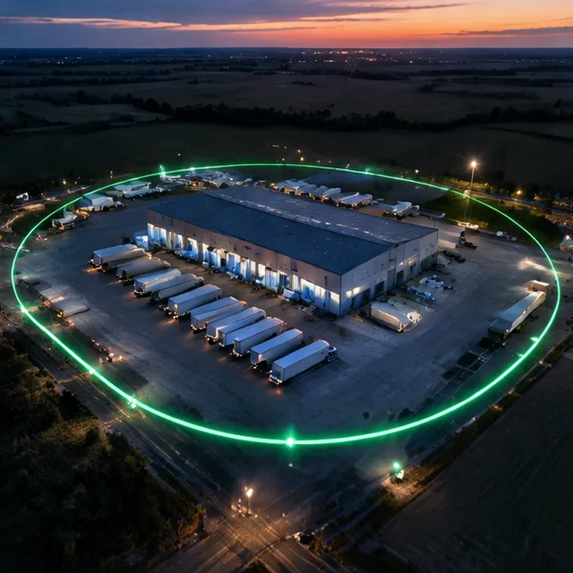
A geofence that is too small misses arrivals, and one that is too big fires alerts for the neighbor's lot. Enter the site width, the usual speed and the update rate to get a radius that fits.
Saved. Your numbers will be sent with your quote request.
How the geofence radius planner works
Between two position reports a vehicle keeps moving. At 1 mph a vehicle travels 22 feet every 15 seconds, so the distance between pings is speed times 22, times the reporting interval, divided by 15, rounded up.
The suggested radius is half the site width, plus a buffer of 100 feet for GPS drift, plus the distance between pings, rounded up to the next 25 feet. The circle width is twice the radius.
Open sky, tall buildings and tree cover change GPS accuracy. After setting a zone, watch a few real visits and adjust it.
Geofence Radius Planner: questions
Why does the update rate change the radius?
A slower rate means bigger jumps between reports, so a vehicle can cross a small zone without a ping landing inside it.
Can I use different radii for different sites?
Yes. Many fleets use a tight radius for a depot gate and a wider one for a job site or a customer lot.

Want these numbers checked by a person?
Send the form or call. We will go through them with you.