Efficiency / Fleet GPS tracking
Geofencing and Alerts
A geofence is a boundary drawn on the map. Alerts fire when a vehicle enters or leaves it.
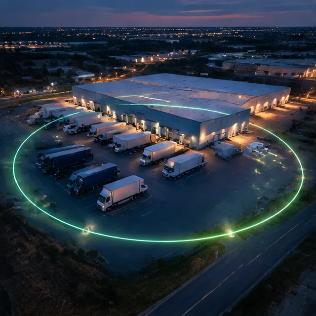
What Geofencing and Alerts covers
Geofences can be circles or shapes around depots, customers, job sites and restricted areas. Alerts go to email or phone and arrivals are logged. Rules can apply by time, vehicle or driver.
What you get
- Circles and custom shapes around any place
- Enter and leave alerts by email or text
- Arrival and departure logs
- Rules by time of day, vehicle or driver
How it works
- List the placesWe list the places that matter.
- Draw and name themGeofences are drawn and named.
- Choose the alertsAlerts and schedules are set for each rule.
Good to know
Getting the most from Geofencing and Alerts
Questions
Geofencing and Alerts: common questions
Can I limit alerts to certain hours?
Yes. Alerts can follow a schedule.
How accurate is a geofence?
It depends on GPS accuracy and the size of the boundary. Larger boundaries avoid false alerts.
Will drivers have to do anything?
Very little. Most reports and alerts run on their own from the tracker's data.
Fleet GPS tracking near you
Free quote
Talk to us about Geofencing and Alerts
Send the form or call. We reply with a clear next step and a written quote.